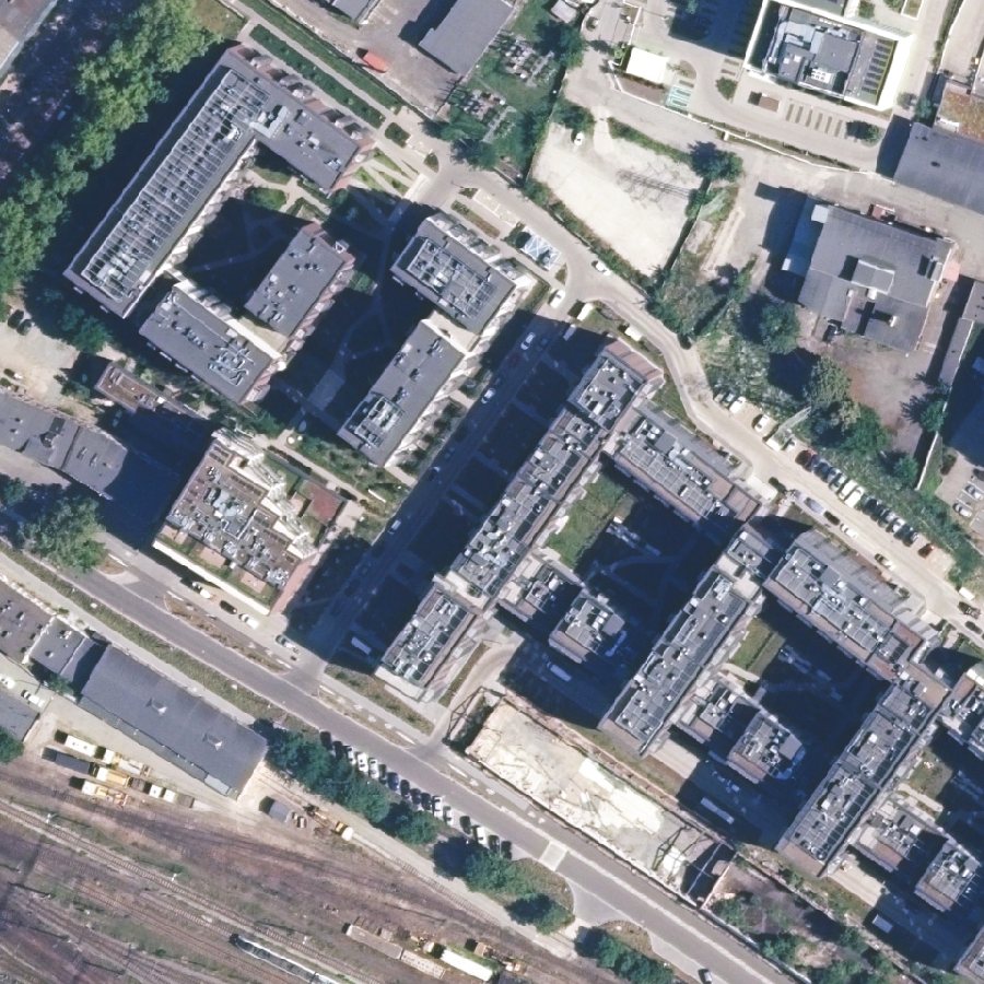
 01 · LOOK DOWN
The camera sees a patch of ground.
A downward camera takes a 240 m frame. Compass and altimeter level and scale it to the map.
GNSS-denied navigation · Made in Poland
Orteris lets a small drone find its own position by matching its downward camera against an orthophoto map it carries on board. No satellites, no GPU, no neural network.
Simulated flights on real aerial imagery · Nov 2026
median error over 4-minute flights while the GPS was spoofed 400 m off.
per position fix in C++, one thread of a 2-core cloud CPU. Raspberry Pi 5 bench this month.
is enough radio for a three-drone formation to stay within about 6 m.
Simulation only: camera frames are cut from a second-date orthophoto (NAIP 2021/2025, GUGiK 2021/2025). Not yet shown: a real flight, a real camera, night or snow. Every number on this page comes from scripts in our repository and is published with its log.
Poland's National Institute of Telecommunications station in Gdańsk logged interference on all GNSS bands on about 70% of days in May and June 2026. Drones over Pomerania lose their position. Worse, a drone that trusts a spoofed signal flies confidently to the wrong place.
Orteris doesn't listen to the sky. It looks at the ground.
Like the terrain-matching that guides cruise missiles, but with a camera instead of a radar altimeter, and small enough for a drone.
01 · LOOK DOWN
A downward camera takes a 240 m frame. Compass and altimeter level and scale it to the map.
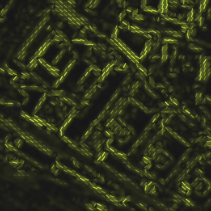 02 · KEEP THE OUTLINES
Seasons, shadows and paint come and go; walls, roads and rails don't. The frame becomes a field of outline directions.
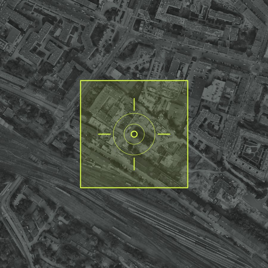 03 · FIND IT ON THE MAP
The field is correlated against the onboard orthophoto. When the drone is lost, triangle hashing finds it again from scratch.
Frames cut from the 2025 photos were located on the 2021 map: 82% found, 1.6 m median error, across four years of construction.
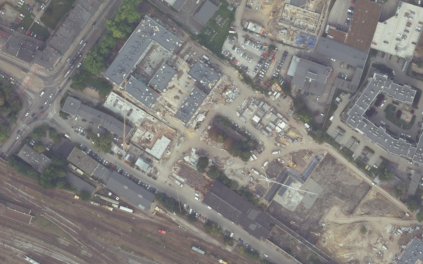
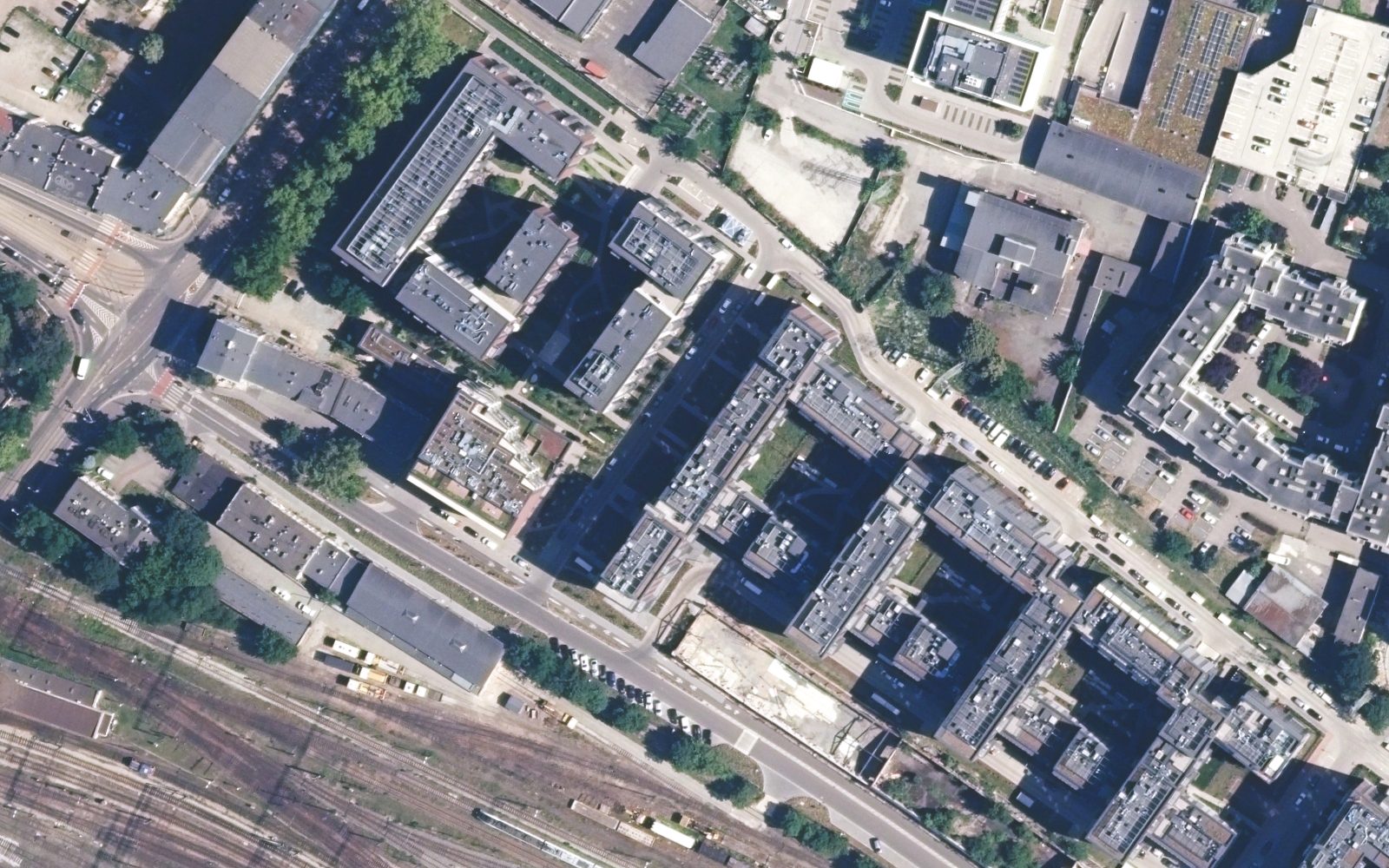 MAP · SEP 2021
CAMERA · JUN 2025
Only the lead drone needs a map fix. It shares its position in 41-byte reports over a mesh radio; followers combine them with their own dead reckoning. Followers can also send compressed features for the lead to locate.
Followers' median error, three-drone formation, simulated 150 s flights at 15 m/s.
Reconnaissance and patrol drones on the eastern flank keep their position when GNSS is denied.
Emergency services along the Baltic coast fly where interference is now routine.
Inspection flights along fixed routes, where the map is known and the ground has strong outlines.
Simulated on real imagery; C++ port matches the reference on 240 of 240 test frames.
Raspberry Pi 5 benchmark; public UAV flight datasets. Gate: benchmark published.
ArduPilot spoofing demo, then our own flight over Polish ground with a GNSS truth log.
PFR–MON IDA programme, a Polish integrator's letter of intent, pre-seed round.
A Polish visual navigation component that lets a small drone fix its position when GNSS is jammed or spoofed, by matching its downward camera against an orthophoto map on board.
No. It uses classical, deterministic computer vision: outline correlation for each fix and triangle hashing to recover when lost. The same input always gives the same answer, which makes it testable and certifiable.
Not yet. All results so far are simulations on real aerial imagery. The first flight over Polish ground with a GNSS truth log is in our 90-day plan.
In Poland, the national 25 cm orthophoto from GUGiK, reduced to about 1.2 m per pixel on board. Elsewhere, any orthophoto of similar quality.
We share the live demo, the full results page and the code behind every number.